





 Landscape
Beyond Connectivity: What Your Tracker Can and Cannot Do When Cellular Networks Disappear?
Admin 2026-07-16 381
"Can a GPS tracker work without the internet?"
this is a question I frequently hear from our enterprise clients, particularly when they are planning to deploy trackers in remote areas, cross-border logistics scenarios, or environments with poor signal coverage.
The answer is: Yes
— but with certain caveats. Let me break this down for you in detail: under what circumstances is it possible, when is it not, and how do we leverage technology to ensure that critical data is never lost, even in the absence of a network connection?
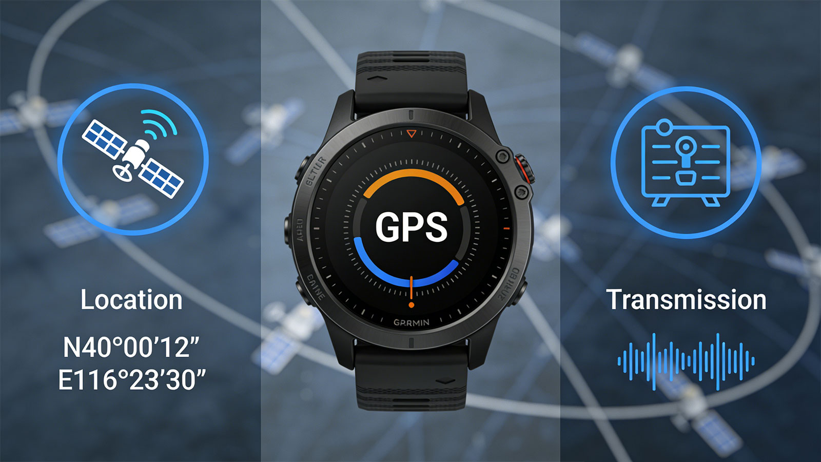
Ⅰ. Understanding Two Independent Functions
First, we need to distinguish between two core functions within a GPS tracker.
| No. | Functions | Dependencies | Requires Cellular Network? |
| 1 | Positioning (Obtain Coordinates) | GPS, LBS and Wi-Fi signals | ❌ |
| 2 | Transmission (Send Data) | Communication links (Cellular networks [4G/2G], Wi-Fi, satellites, etc.) | ✅ |
GPS reception itself is entirely free, passive, and one-way. Your tracker simply needs to "hear" the satellite signals to calculate its own position; this process requires sending no information back to the satellites, nor does it require the involvement of a cellular network.
This means that as long as there is sufficient GPS satellite coverage, the tracker can determine its location—even when situated in a remote, uninhabited area with no mobile phone signal.
Ⅱ. Working Conditions in Various Scenarios
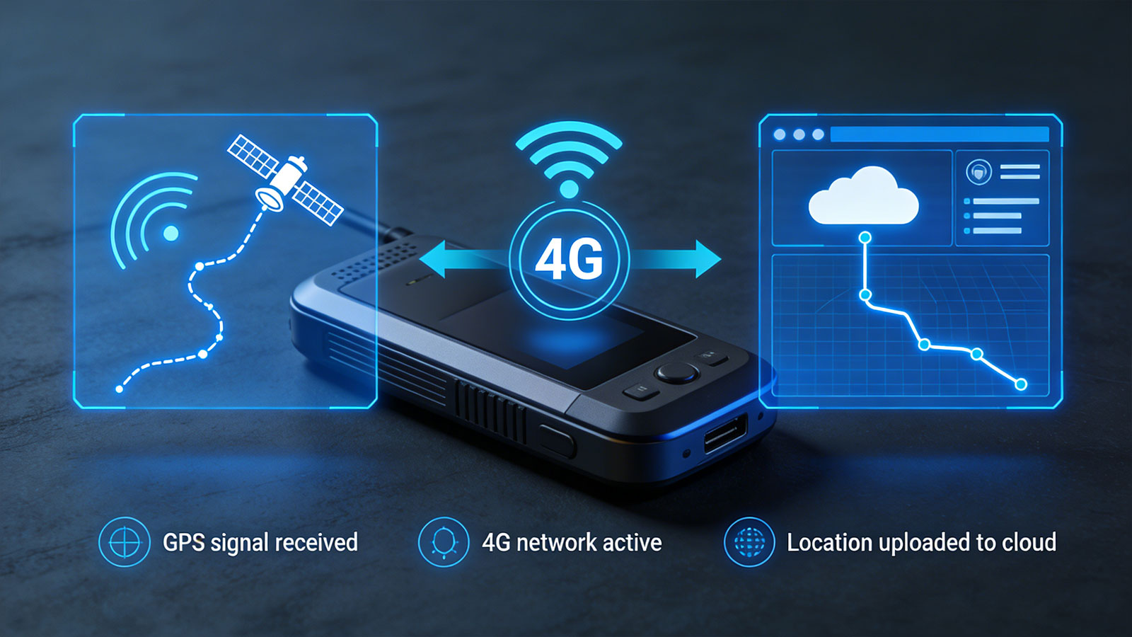
Scenario 1: GPS Signal Available, Cellular Network Available: Working Properly
This is the most common scenario. The GPS tracker:
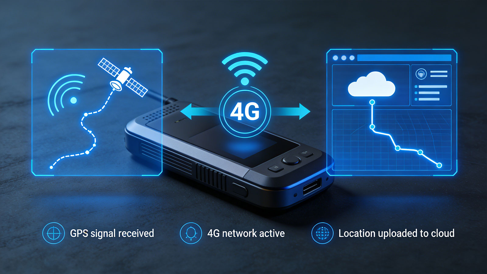
1) Receives signals from GPS satellites to calculate its position.
2) Transmits the position data to the cloud platform in real-time via the 4G cellular network.
3) You view the real-time tracking trajectory on the monitoring backend.
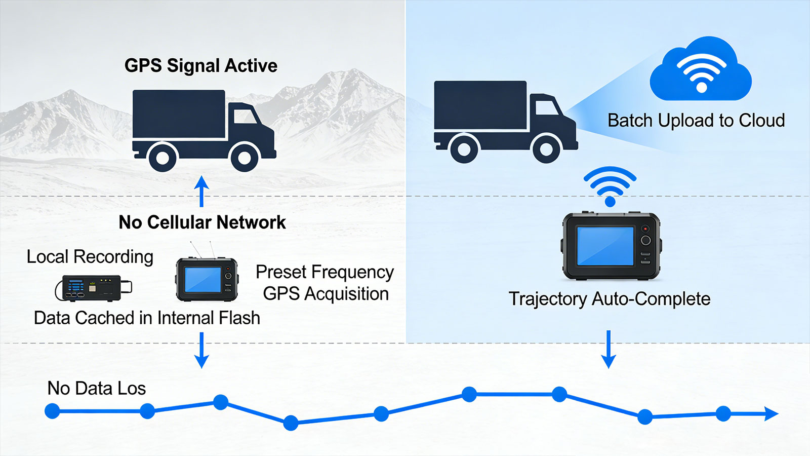
Scenario 2: GPS Signal, No Cellular Network: Local Recording, Delayed Upload
This represents the core scenario addressing the question at hand.
The tracker is able to pinpoint its location but cannot transmit data in real time. However, it does not simply "shut down" or cease functioning. Our trackers feature a built-in data caching capability:
1) The device continues to acquire GPS location data at its preset frequency.
2) All location data is stored in the device's internal flash memory (capable of storing anywhere from thousands to tens of thousands of records).
3) As soon as the device re-enters an area with cellular network coverage, it automatically uploads the cached historical data to the cloud in a batch.
This means that when a truck travels through mountainous terrain or border regions lacking signal coverage—even though you cannot view its location in real time—the platform will automatically fill in the missing segment of the route once the vehicle exits that area. No data is lost.
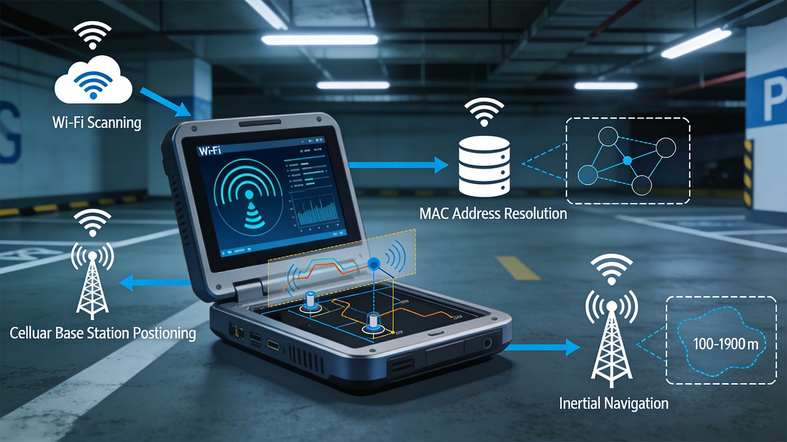
Scenario 3: No GPS Signal, Cellular Network Available: No Precise Positioning
This scenario applies to environments such as urban canyons, tunnels, and underground parking garages. The tracker has network connectivity but cannot "see" any satellites.
In this situation, the device will attempt the following:
1) Wi-Fi Positioning (if enabled): Scans for nearby Wi-Fi hotspots and uploads their MAC addresses to a cloud-based database to calculate the location.
2) Cellular Base Station Positioning: Estimates a general area based on the location of the currently connected cellular base station (with an accuracy of 100–1000 meters).
3) Inertial Navigation (on select high-end devices): Utilizes accelerometers and gyroscopes to perform short-term position estimation.
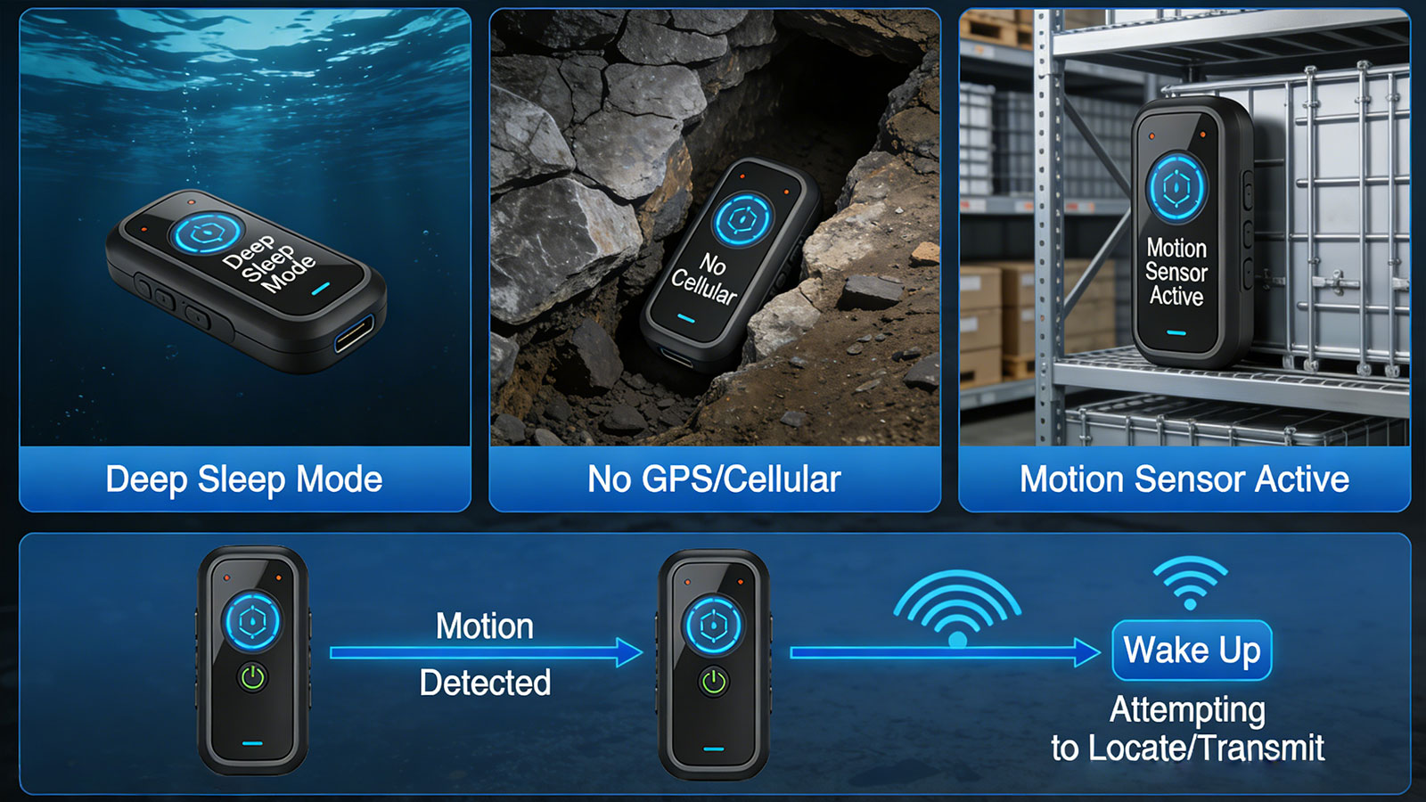
Scenario 4: No GPS Signal, No Cellular Network—Complete Dead Zone
This represents the most extreme scenario (e.g., the deep sea, deep underground mines, or shielded warehouses). In such conditions, the tracker is unable to either determine its location or transmit data.
In this situation, the device typically enters a deep sleep mode, relying solely on its accelerometer to monitor for movement. It will only wake up—and attempt to acquire a location fix and transmit data—once movement is detected and it returns to an area with signal coverage.
Ⅲ. Engineering Implementation of Data Caching
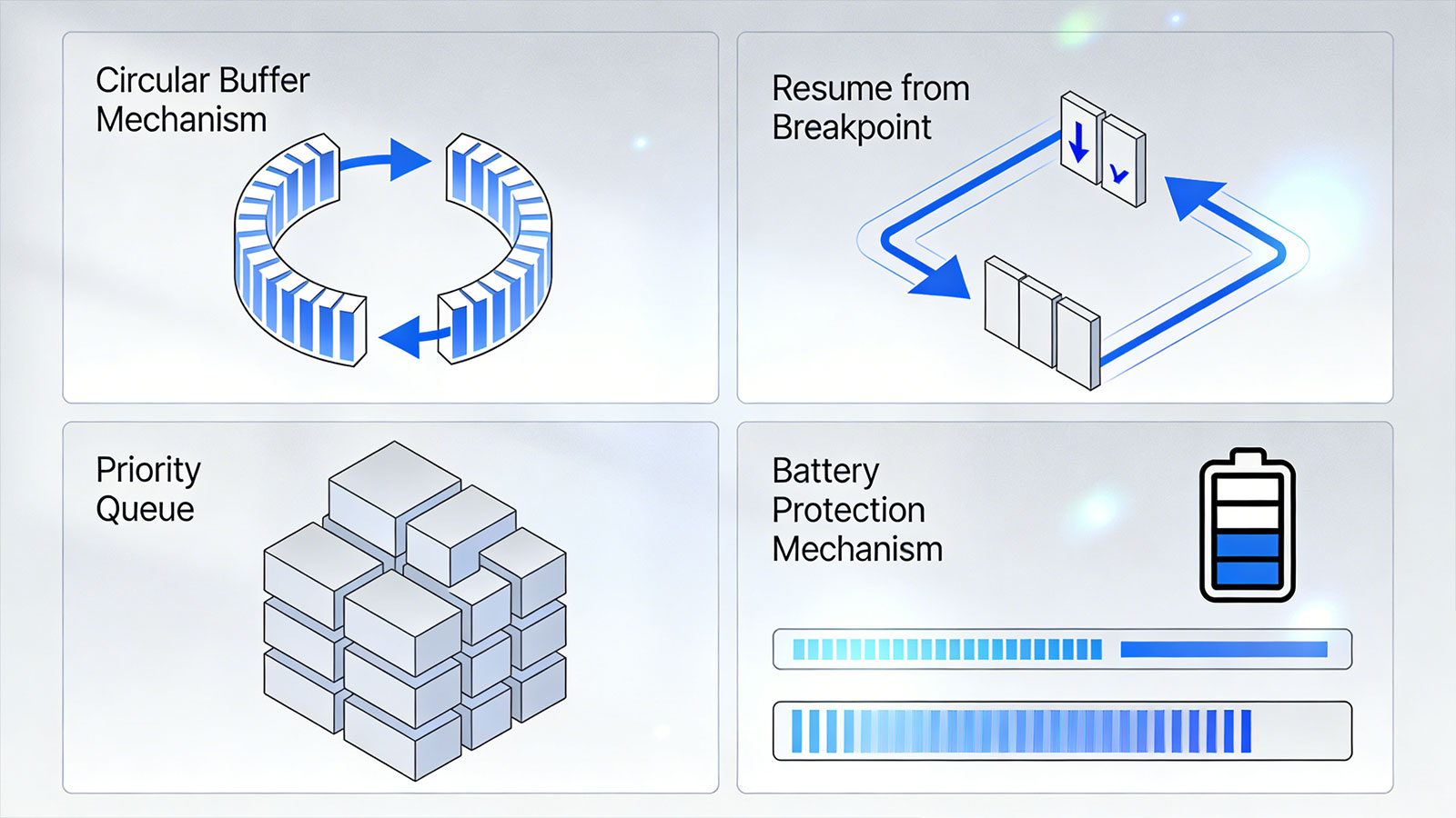
As a GPS tracker one-stop solution provider, I would like to share some technical details behind data caching to help you understand its reliability.
3.1 Ring Buffer Mechanism
Our devices employ a Ring Buffer design. Once the storage space is full, new data automatically overwrites the oldest data. This ensures that there is always space to record the latest location information while preventing the critical failure scenario where recording ceases due to full storage.
3.2 Resume from Breakpoint
When the device returns from a signal-free zone to an area with coverage, it does not simply perform a "bulk upload of the entire cache" all at once. Our protocol supports "resume from breakpoint"—if the network connection is interrupted again during the upload process, the device remembers the specific data points that have already been transmitted; upon the next connection, it resumes uploading from the exact point of interruption, thereby avoiding redundant transmissions and conserving data usage.
3.3 Priority Queue
Critical event data—such as SOS alerts, fall detection notifications, and the final location recorded just before battery depletion—is assigned the highest priority within the cache. Even when storage space is limited, this data is prioritized for retention, ensuring that the most vital safety information is never lost.
3.4 Battery Protection Mechanism
During prolonged periods without network connectivity, frequent attempts to search for a network can rapidly deplete battery power. Our devices employ an adaptive network search strategy:
Upon entering an area with no signal, the network search interval is gradually extended (e.g., searching once every 30 seconds for the first 10 minutes, then once every 5 minutes, and finally entering a low-power mode that searches once every 2 hours).
When motion is detected by the accelerometer, high-frequency network searching is resumed.
Ⅳ. Key Recommendations for Enterprise Clients
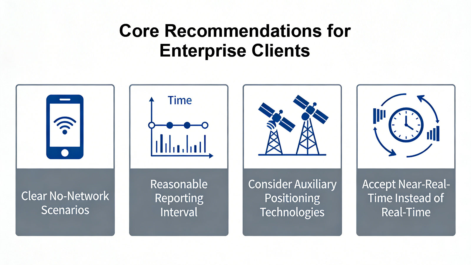
Based on the technical principles outlined above, I recommend that you consider the following points when planning and deploying a GPS tracking solution.
4.1 Define Your "No Network" Scenarios
| No. | Scenario Types | Duration | Recommended Solution |
| 1 | Brief Tunnels, Underpasses | Few minutes | A standard cache is sufficient; no special configuration is required. |
| 2 | Remote Mining, Forestry Areas | Hours to days | Select a high-capacity caching device and configure an appropriate data reporting interval. |
| 3 | Cross-border Transport (e.g., Maritime) | Hours to days | Consider implementing satellite backhaul or an automated shore-side synchronization solution. |
| 4 | Deep Underground, Shielded Rooms | Permanent loss of signal | Must be paired with Bluetooth beacons or require periodic manual data retrieval. |
4.2 Configuring the Reporting Interval
When the cache capacity is fixed, the reporting interval determines the duration of signal loss that can be covered. For example:
Reporting every minute → Covers approximately 7 days of signal loss
Reporting every hour → Covers approximately 6 months of signal loss
Based on your specific routes and the extent of signal blind spots, we can assist you in optimizing these configurations.
4.3 Consider Auxiliary Positioning Technologies
If blind spots exist where both GPS and cellular signals are unavailable (e.g., in underground parking garages), the following options are recommended:
Bluetooth Beacon Deployment: Install low-power Bluetooth beacons at key locations; devices passing through these areas record the beacon IDs to serve as positional references.
Inertial Navigation Assistance: High-end devices can integrate an IMU (Inertial Measurement Unit) to perform dead reckoning during periods of signal loss.
4.4 Embracing "Near-Real-Time" Over "Real-Time"
For operations spanning vast areas with no signal coverage—such as cross-border trucking and deep-sea shipping—it is necessary to accept the reality that real-time monitoring may not be possible during certain periods. Our platform features a "Historical Track Completion" function; whenever a device reconnects to the network, it automatically backfills the trajectory data from the signal-blind zones, thereby ensuring the completeness of subsequent analysis.
Ⅴ. Satellite Communication—The True "No-Network" Solution
If you genuinely require real-time monitoring in areas completely devoid of cellular coverage—such as during polar scientific expeditions, deep-sea fishing operations, or explorations of uninhabited regions—you may want to consider a satellite communication tracker.
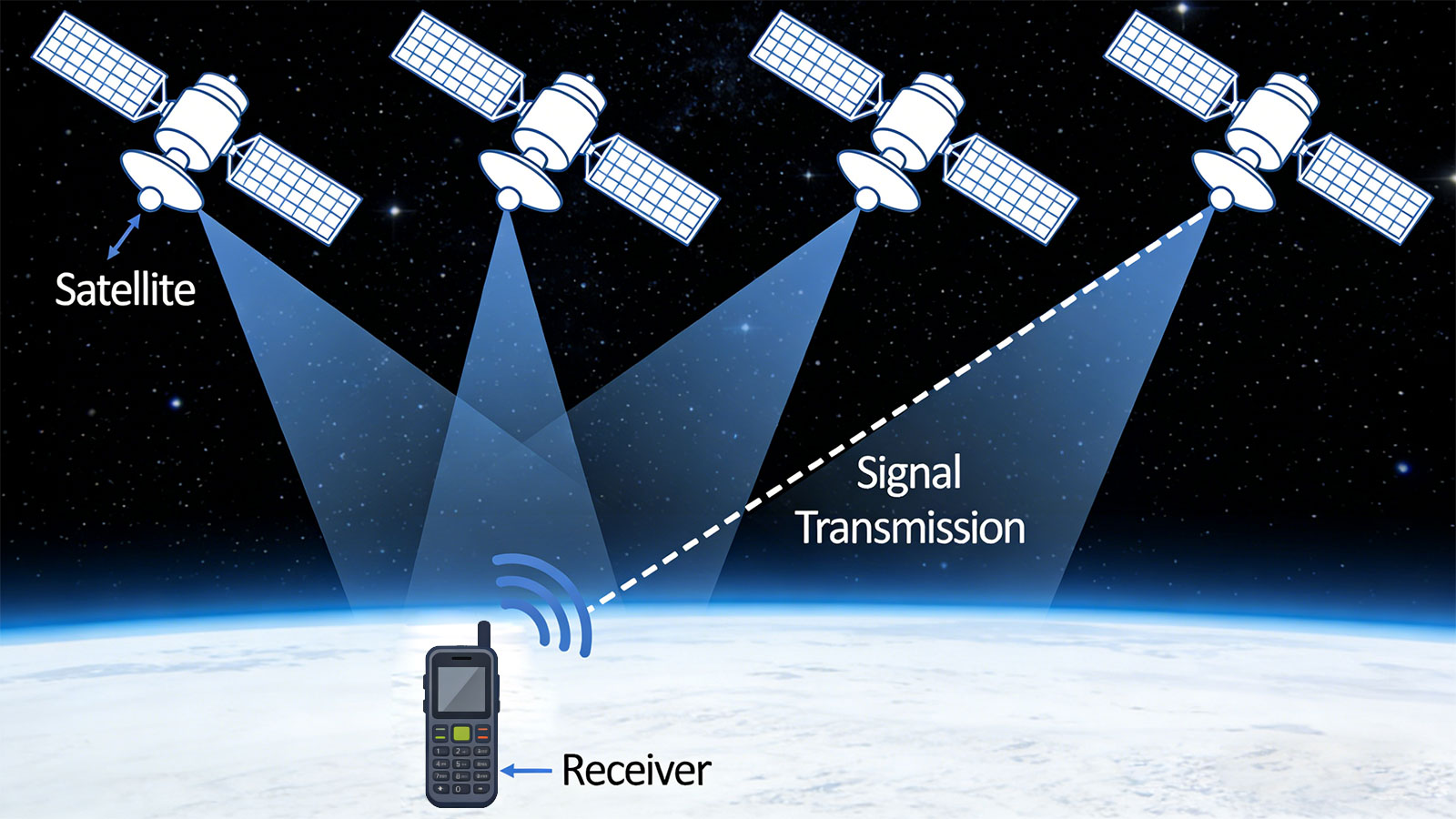
Currently, mainstream satellite IoT technologies include:
| Technology | Features | Applicable Scenarios |
| Iridium | Global Coverage, Two-way Communication | Polar Regions, Oceans, Deserts |
| Tiantong-1 | Domestically Developed (China), Covering the Asia-Pacific Region | - |
| BeiDou Short Message | Integrated Positioning and Communication | China and Surrounding Regions: Emergency Communications |
| Globalstar | Low Power Consumption, Low Cost | Asset Tracking (Non-Real-time) |
5.1 Cost Trade-offs
Satellite tracker hardware costs are higher (typically 2–3 times that of cellular devices).
Satellite communication rates are significantly higher than those of cellular networks (billed per message, ranging from $0.10 to $1.00 per message).
Battery consumption is higher (due to the high transmission power required for satellite communication).
5.2 Our Recommendation
Consider a satellite-based solution only when the operational coverage area completely lacks cellular network coverage and real-time monitoring is absolutely essential. For most cross-border logistics scenarios, a "cellular + high-capacity caching" approach offers the most cost-effective solution.
Ⅵ. Conclusion
Returning to the initial question: Can a GPS tracker function without an internet connection?
It can determine its location, but it cannot transmit data in real time.
In the absence of an internet connection, our trackers:
Continues to receive GPS signals and calculate location
Securely stores all data in a local cache
Automatically uploads historical tracks once network connectivity is restored
Ensures that critical alert events are prioritized for retention
What is ultimately delivered to the client is this: even if network blind spots exist, the monitoring platform still displays a continuous, complete, and fully traceable trajectory—with absolutely no data loss.
This constitutes one of our core values as a professional IoT solutions provider: we do not merely manufacture hardware; rather, we construct a complete system capable of operating reliably in any environment.
Search
Latest News
IP Protection Ratings is Not Permanent: Is Your GPS Tracking Device Truly Waterproof and Dustproof?
Is that Smartwatch Health Monitoring Medical Grade? - Focus on Trends, Not Medical Grade Disease Diagnosis Criteria
Battery Life Decoding: Seven Key Factors Affecting Your GPS Tracker Battery Duration
Is GPS Positioning Truly Real-Time? — The Truth About "Real-Time" GPS Tracking
Beyond Connectivity: What Your Tracker Can and Cannot Do When Cellular Networks Disappear?