





 Landscape
How does a GPS Tracker Connect to Your Phone and Achieve Remotely Position?
Admin 2026-07-15 478
How does a GPS tracker connect to a phone? This is a highly practical question. As an enterprise client, you may wish to monitor vehicle locations yourself at any time, or enable your end users to track their own assets and loved ones via a mobile app. So, how exactly is the connection established between a GPS tracker and a mobile phone?
The answer is: GPS trackers typically do not connect directly to a mobile phone; instead, they utilize a cloud-based server to act as an intermediary bridge. Let me break down this process for you in detail, as well as explain a few specific methods that allow for a "direct connection."
Ⅰ. The Most Common Connect Method: Cloud Relay Mode
This is the connection method adopted by over 90% of commercial GPS trackers. The entire process involves four roles.
| No. | Roles | Functions | Examples |
| 1 | GPS Tracker | Retrieve location data and upload data | Vehicle GPS Trackers, Pet Trackers, Personal Trackers, Asset Trackers, etc. |
| 2 | Cellular Network | Channel for data transmission | 4G, 3G and 2G Base Stations |
| 3 | Cloud Engine | Receive, store, and process data | Amazon Cloud Server, AliCloud Server |
| 4 | Platform and App | Retrieve and display data from the cloud | Amazon Cloud Server, Huawei Cloud Server |
1.1 Data Flow Diagram
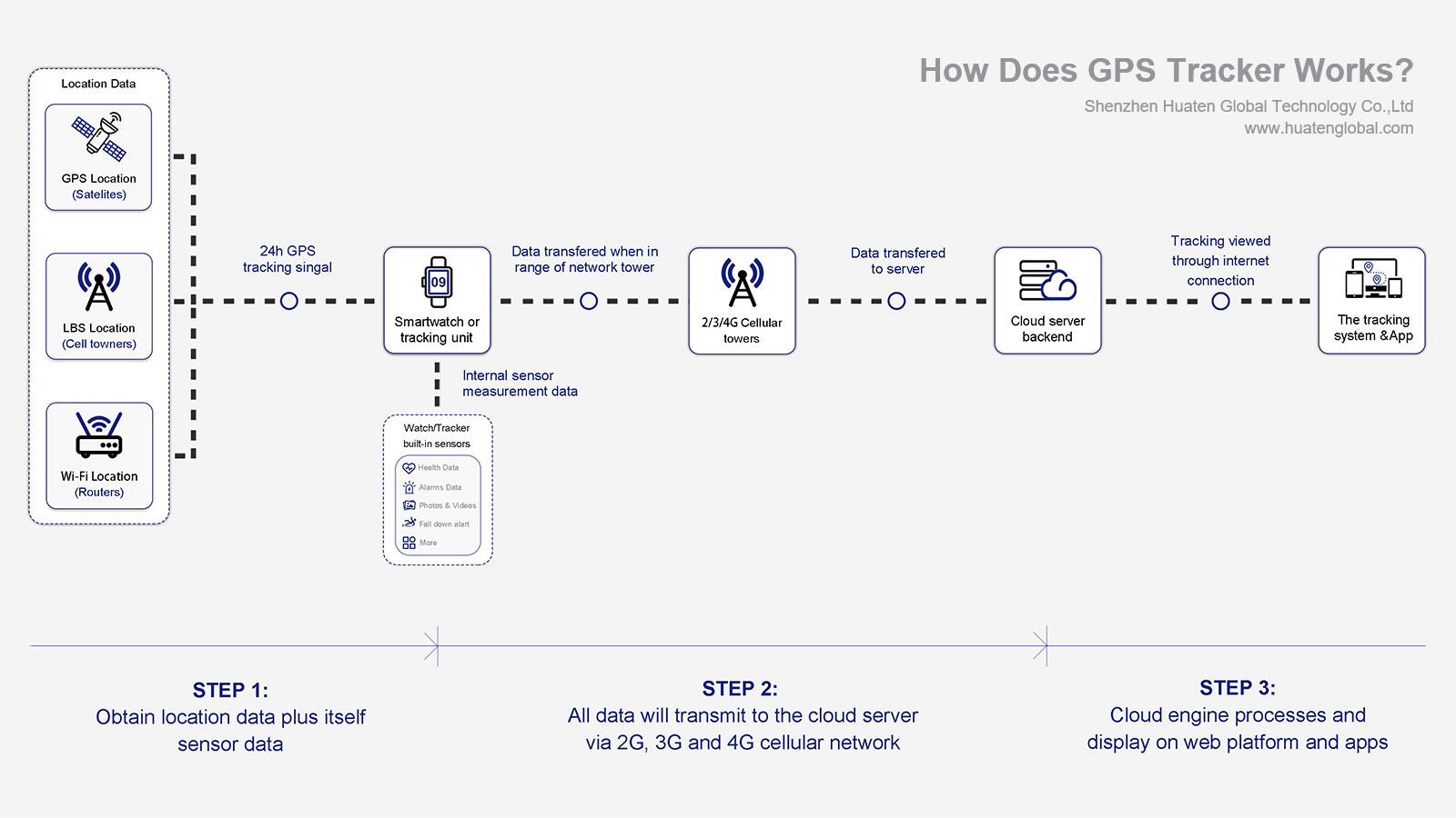
1.2 Key Points
There is no direct communication between the tracker and the mobile phone; all data is relayed via the cloud.
Advantages of this approach: Anyone, anywhere—provided they have an internet connection—can view the device's location (without needing to be in the immediate vicinity of the tracker).
Disadvantages: Reliance on cellular network coverage, and a certain degree of latency in data transmission.
1.3 Real-World Experience
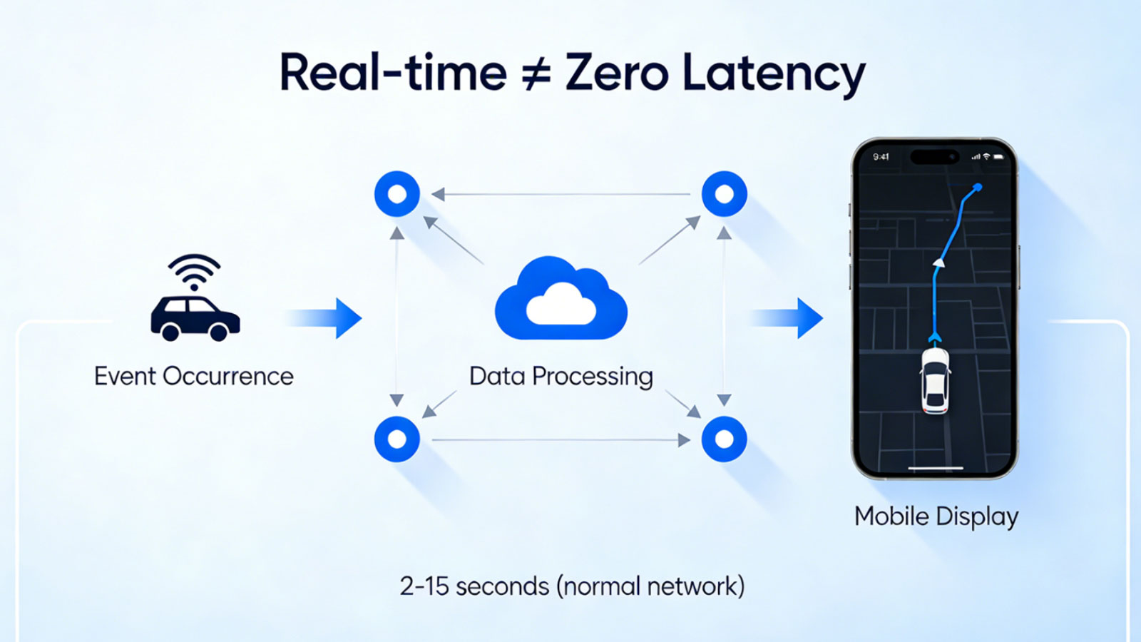
When you open the mobile app to view the vehicle's real-time location, the entire process unfolds as follows:
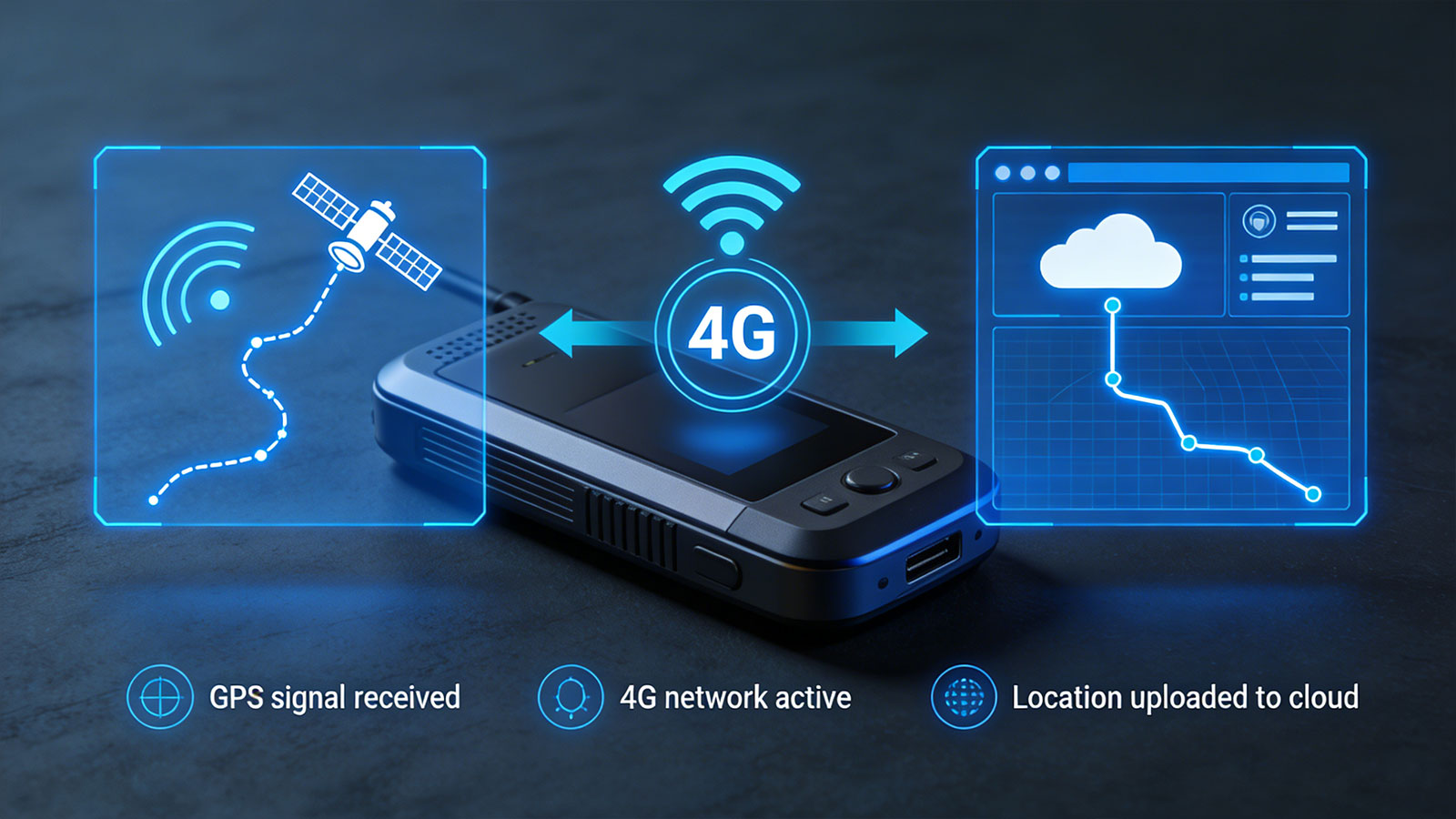
1) The tracker just uploaded a new location data point to the cloud via the 4G network.
2) Your mobile app requests the latest data from the cloud every few seconds.
3)The cloud transmits the most recent location information to your mobile device.
4) he vehicle icon on the map updates accordingly.
This entire process typically takes between 2 and 45 seconds, depending on network conditions.
Ⅱ. Short-Range Direct Connection Mode: Bluetooth
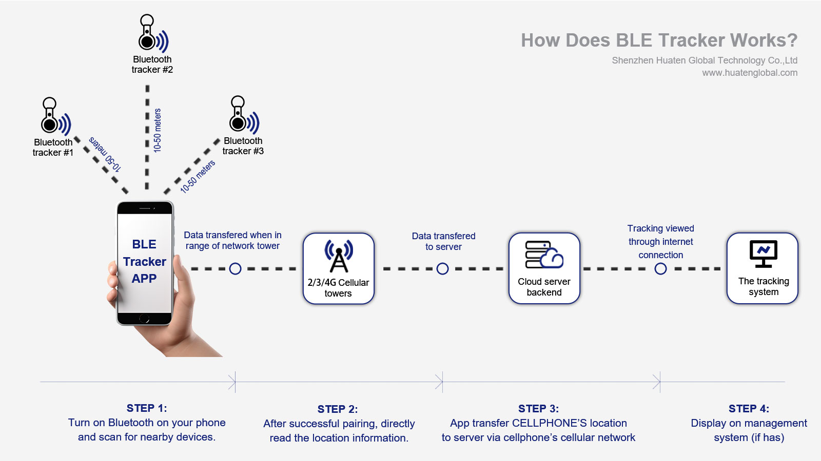
In certain scenarios, the tracker can indeed connect directly to a mobile phone—via Bluetooth.
2.1 Applicable Scenarios
Item Finders (e.g., Apple AirTag, Tile): Locating keys or wallets
Pet Trackers: Locating pets within close proximity
Device Configuration/Debugging: On-site parameter setup for trackers by engineers
2.2 Working Principle
1) The tracker features a built-in Bluetooth BLE (Bluetooth Low Energy) module.
2) The mobile phone enables Bluetooth and scans for nearby devices.
3) Once successfully paired, the phone can directly retrieve location information from the tracker (if the tracker is equipped with GPS, it can also transmit GPS coordinates to the phone via Bluetooth).
2.3 Limitations
Short communication range: Typically 10–50 meters, and even shorter when obstructed by walls.
No remote access: You must be physically close to the tracker to establish a connection.
Real-time running: Relies on a mobile app running in the background.
2.4 Typical Products
| No. | Products | Connection Methods | Features |
| 1 | Apple AirTag | Bluetooth + Apple Network | No built-in GPS; relies on nearby Apple devices to upload location data. |
| 2 | Tile | Bluetooth + Tile Network | No built-in GPS; relies on the network of nearby Tile users. |
| 3 | Key tracker | Bluetooth + 4G Dual Mode | Remotely track via 4G; configure or locate nearby via Bluetooth. |
Ⅲ. Wi-Fi Direct Mode (Not Common)
Some consumer-grade trackers or indoor positioning devices support direct Wi-Fi connectivity:
The tracker connects to the home Wi-Fi network.
If the mobile phone is connected to the same Wi-Fi network, it can access the device directly via the local area network (LAN).
Typically used in fixed indoor environments, such as for elderly care devices.
Disadvantage: The device ceases to function once it moves outside the Wi-Fi coverage area.
Ⅳ. NFC Touch Connection (One-time)
NFC (Near Field Communication) is typically used for rapid pairing or information retrieval, rather than for continuous connection:
Tap your mobile phone against the tracker.
The phone directly reads device information (e.g., Device ID, battery level, last known location).
Commonly used for device activation and quick status checks; not suitable for real-time monitoring.
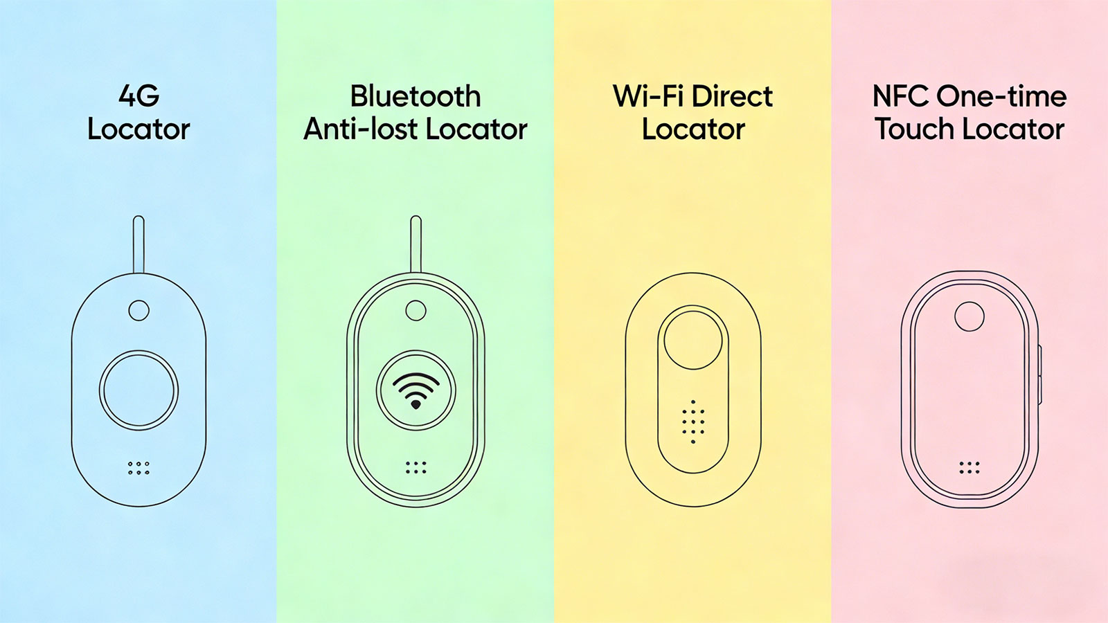
Ⅴ. Comparison of Different Connection Methods
| No. | Connection Methods | Communication Range | Real-time capability | Real-time capability | Typical Applications |
| 1 | Cloud Relay (4G) | Anywhere in the World, no distance limit | ⭐⭐⭐⭐⭐ | The tracker requires 4G; the mobile phone requires internet connection. | Remote monitoring of vehicles, assets, and personal |
| 2 | Bluetooth Direct | 10-50 meters | ⭐⭐⭐⭐ | No | keys, wallets, luggages, etc |
| 3 | Wi-Fi Direct | 50-100 meters | ⭐⭐⭐⭐ | Requires a shared Wi-Fi network | Fixed indoor environments |
| 4 | NFC Tap | 0-5 centimeters | ⭐⭐⭐ | No | Rapid information retrieval |
Ⅵ. Which Type of Tacker You Should Choose?
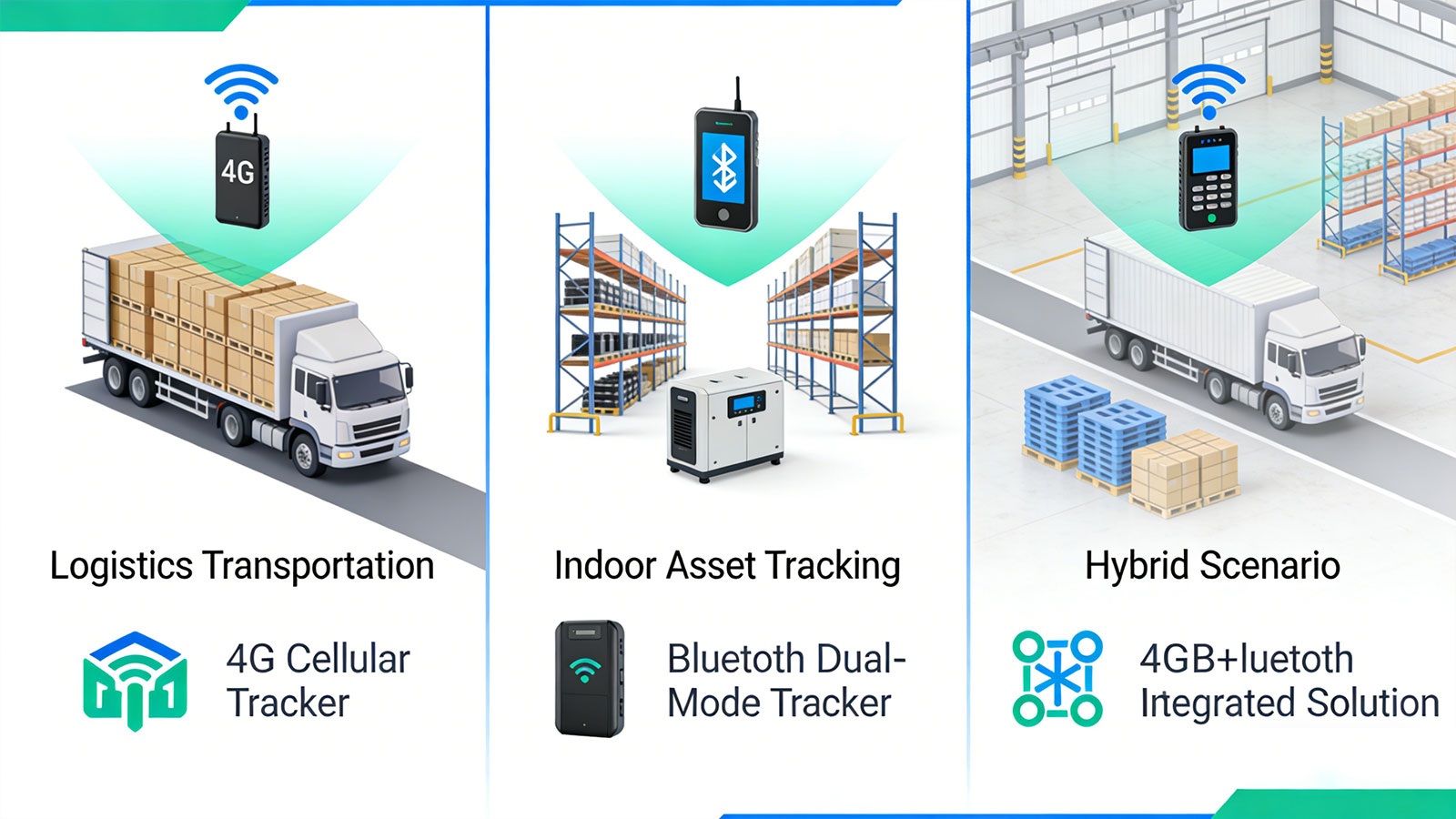
Based on your specific business scenarios, I recommend the following solutions
Scenario 1: You need to remotely monitor vehicles, assets, or people
Choice: 4G Cellular Trackers + Cloud Relay
This represents the standard enterprise-grade solution. Whether you are in the office, at home, or traveling on business, as long as your mobile phone has an internet connection, you can view the real-time location of all your devices at any time. Our TRACK IN360 platform and its accompanying mobile app are designed specifically for this purpose.
Scenario 2: Need to perform on-site debugging or batch configuration of devices
Choice: Trackers with Dual-Mode Bluetooth Support
During the deployment phase, engineers can connect directly to the devices via a mobile phone's Bluetooth to configure parameters and update firmware—without the need to insert a SIM card or physically open the device casing. This significantly reduces deployment costs. Several of our industrial-grade models support this feature.
Scenario 3: You require seamless indoor and outdoor positioning capabilities
Choice: 4G + Bluetooth Integrated Solution
When personnel enter a building, GPS signals are typically lost; however, by deploying Bluetooth beacons indoors, a mobile app can receive signals from these beacons to enable indoor positioning. This solution is becoming increasingly popular in environments such as nursing homes, hospitals, and factories.
For specific product and solution selections, please refer to the article: How to Choose a Suitable Tracker?
Ⅶ. Huaten Global's Solutions
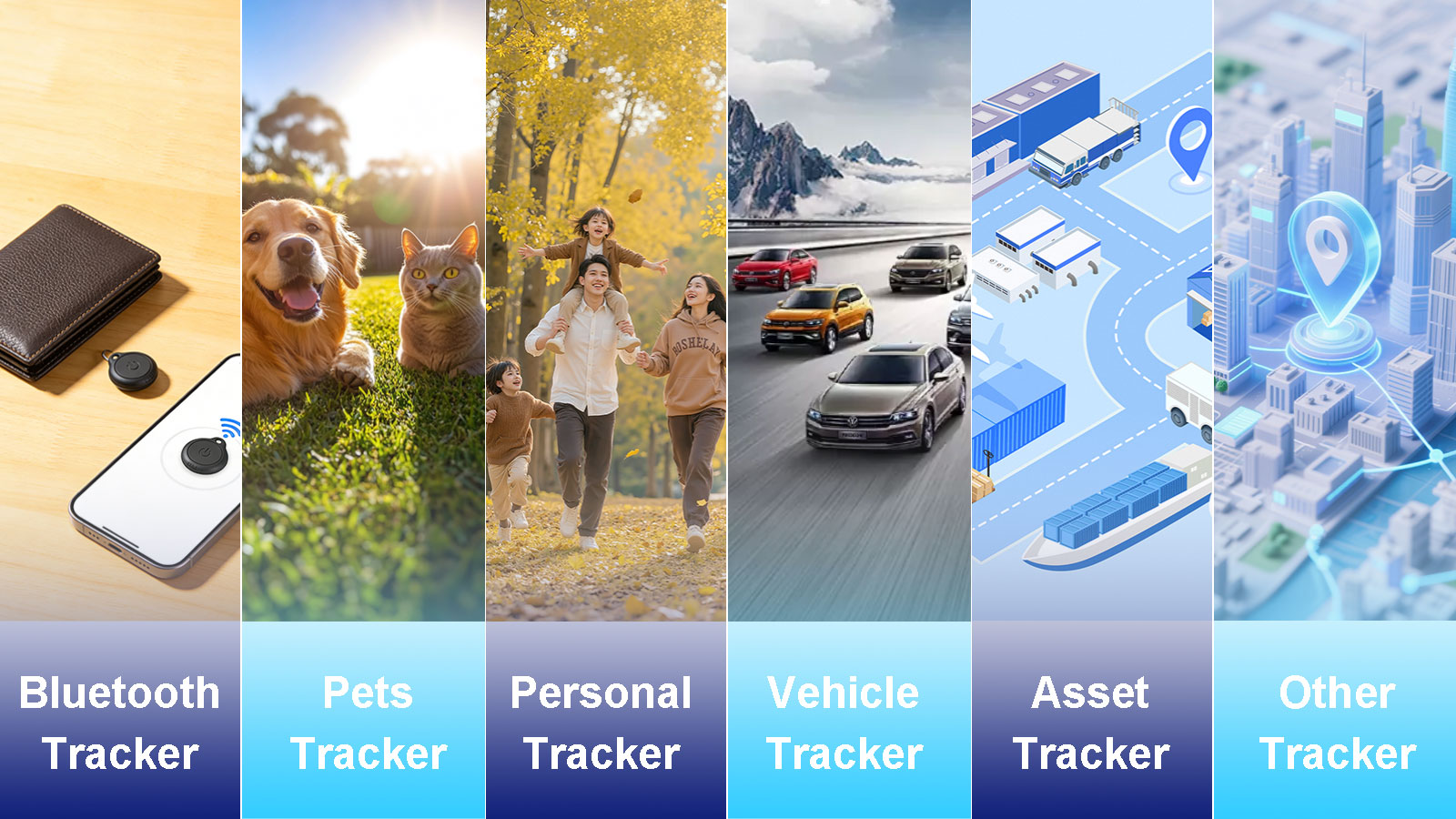
As a professional IoT GPS solutions provider, our trackers and platform support a variety of connectivity methods.
Remote Monitoring Layer
All 4G GPS trackers connect to the cloud via cellular networks.
The mobile app retrieves data from the TRACK IN360 platform via the internet.
Supports both Android and iOS platforms; the UI is fully customizable for white-label branding.
Near-Field Interaction Layer
Select models support Bluetooth BLE 5.0, enabling the following functions:
Locating the device at close range (by emitting an audible beep).
Configuring device parameters via a mobile app.
Serving as a beacon node for indoor positioning.
Configuration and Debugging Layer
Supports OTA firmware updates via Bluetooth
Field engineers can batch-configure devices using a dedicated app
Ⅷ. Conclusion
The most common method for connecting a GPS tracker to a mobile phone is via cloud relay (4G): the tracker uploads its location data to a cloud platform over a 4G network, and your mobile app subsequently retrieves and displays this data from the cloud.
This approach enables remote monitoring capabilities from anywhere in the world, at any time, and serves as the standard solution for enterprise-grade applications.
For short-range locating or on-site configuration, a direct Bluetooth connection offers an efficient supplementary method.
Huaten Global's solutions address both of these requirements, providing partners with comprehensive white-label app and platform customization services. Regardless of which connectivity method you require, we can provide a tailored technical solution to meet your needs.
If you have questions regarding specific connectivity solutions, or require a custom mobile app for your project, please feel free to contact our solutions team.
Search
Previous
Next
GPS Drifting: The Physics Behind Phantom Movements and How Modern GPS Tracker Reduce It?
Latest News
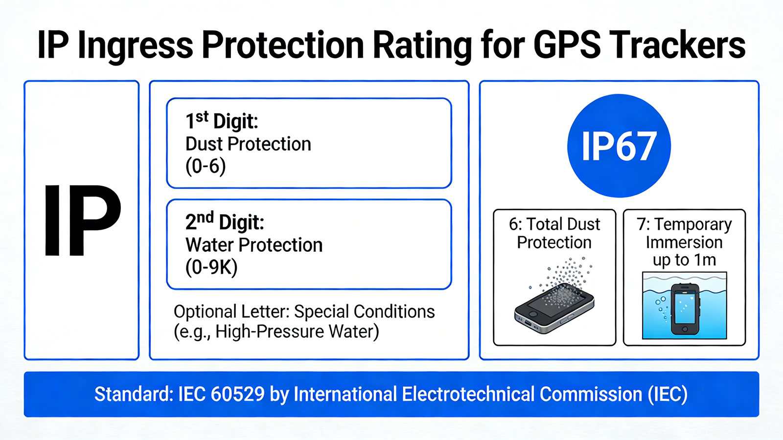
IP Protection Ratings is Not Permanent: Is Your GPS Tracking Device Truly Waterproof and Dustproof?
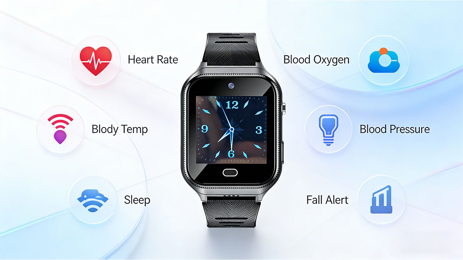
Is that Smartwatch Health Monitoring Medical Grade? - Focus on Trends, Not Medical Grade Disease Diagnosis Criteria
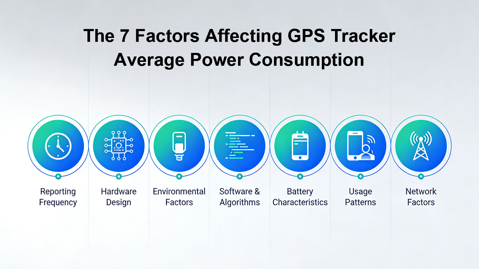
Battery Life Decoding: Seven Key Factors Affecting Your GPS Tracker Battery Duration
Is GPS Positioning Truly Real-Time? — The Truth About "Real-Time" GPS Tracking
Beyond Connectivity: What Your Tracker Can and Cannot Do When Cellular Networks Disappear?